|
Aufstieg
|
904 hm |
|
Abstieg
|
903 hm |
| Tiefster Punkt | 849 m |
| Höchster Punkt | 1200 m |
|
Dauer
|
3:55 h |
|
Strecke
|
22,2 km |
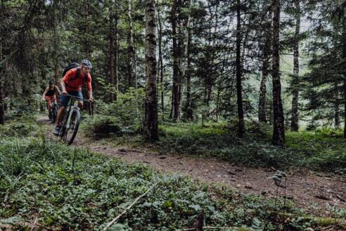
2-Seen-Runde

Quelle: Naturbiken Allgäu/Tirol, Autor: Stefan Storf

Foto: Allgäu GmbH, Martin Erd, Naturbiken Allgäu/Tirol
Info
Karte
Details
|
Kondition
|


