| Schwierigkeit |
schwer
|
|
Aufstieg
|
1230 hm |
|
Abstieg
|
1353 hm |
| Tiefster Punkt | 1185 m |
| Höchster Punkt | 2464 m |
|
Dauer
|
6:45 h |
|
Strecke
|
16,0 km |
Walk to Zams via Ansbacher Hut
Die Tour
Alternative route from Madau to Zams: Madau – Ansbacher H. – Schnann – Zams
Route: Alternative route: Madau – Ansbacher H. – Schnann – Zams
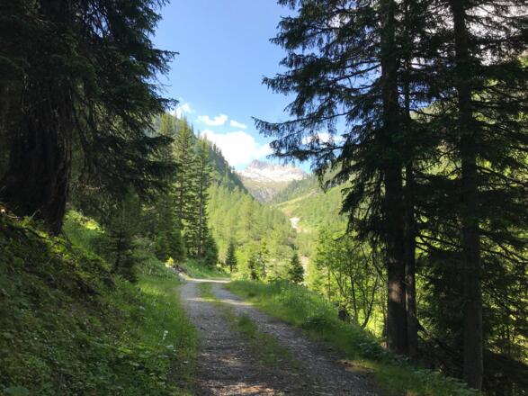
Your 4.5 to 5-hour hike from Madau takes you through the enchanting and secluded Alperschon valley to Ansbacher Lodge, and then on for a further two hours of steep descent through Schnanner Klamm gorge to Schnann im Inntal. A bus departs from Schnann rectory (line 4242) every hour with a travel time of just under 40 minutes to Zams.
Info
Karte
Details
|
Kondition
|
|
|
Erlebnis
|
|
|
Landschaft
|
|
| Technik |
Beste Jahreszeit
Wegbeschreibung
Start
Berggasthof Hermine Madau (1308 m)
Ziel
Bus Stop at Schnann Parish Church
Weg
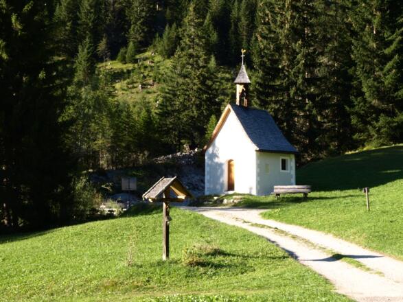
0.00 km - With the Berggasthof Hermine hotel behind you and the small chapel on your right, continue STRAIGHT AHEAD down the wide gravel path and keep to the LEFT to cross the bridge.
0.40 km - You will now reach the paved road; continue on it STRAIGHT AHEAD. The road bends round to the right. Ignore the road that veers off to the left.
0.60 km - TURN LEFT and cross the bridge.
0.80 km - There is a waterfall on your right. TAKE A SHARP LEFT and follow the road uphill. A yellow sign on your right indicates the way to Ansbacher Lodge.
1.10 km - Continue STRAIGHT AHEAD, following the gravel path uphill and around to the right. You will pass a few wooden houses.
2.40 km - At the fork, TURN LEFT and follow the signs for Ansbacher Lodge. You will see a wooden information board for the Anna Stainer-Knittel memorial trail.
4.30 km - Continue STRAIGHT AHEAD, following the winding path uphill. You will be walking on a wide gravel path.
5.00 km - TURN LEFT to stay on the gravel path.
5.90 km - Continue to follow the gravel path and ignore the path that veers off to the left.
6.00 km - Continue STRAIGHT AHEAD and ignore the path to the left.
6.30 km - TURN LEFT and follow the yellow signs to Ansbacher Lodge. The path now becomes narrower and more rocky, and takes you over uneven ground. To the right of you is a river; on the opposite side, you will see the rear Alperschon Lodge. However, the lodge is not open to walkers.
8.90 km - You will pass a small lodge known as Lärchwald Lodge.
10.20 km - At the junction, TURN LEFT and follow the path towards Ansbacher Lodge. The rocky narrow path leads up to Flarschjoch.
11.30 km - You have reached Flarschjoch, the highest point on today’s walk. Behind the ridge, the path sloping gently downwards to Ansbacher Lodge is clearly visible, follow it.
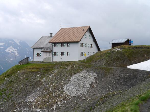
12.40 km - You have reached Ansbacher Lodge, where you can take a well-earned break. From the lodge, follow the path towards Schnann. The steep path is partially eroded. Take care, especially if conditions are wet.
14.40 km - At the fork, KEEP RIGHT and follow the path into the forest – unless you want to take a break for something to eat or drink at Fritz Lodge.
15.10 km - From here, the path slopes steeply down through the forest. The last section is an exhilarating descent through the Schnanner Klamm gorge.
15.60 km - When you leave the gorge, continue STRAIGHT AHEAD and TURN RIGHT towards the church at the next junction.
16.00 km - You have reached the church in Schnann. From here, you can take bus no. 4242 to Zams.
Anreise
Öffentliche Verkehrsmittel
Afternoon: Bus 4242 from church in Schnann, runs hourly to Zams
Weitere Informationen
It may be possible to pick up some refreshments at Ansbacher or Fritz huts. Bear in mind that opening times can vary and you should carry a packed lunch and/or plenty of snacks to keep you going throughout the day.
http://www.ansbacherhuette.at/
Ausrüstung
Always wear good walking boots with a robust sole, and take waterproofs with you. Don’t forget to take plenty of water with you (at least one litre) and to protect yourself against the sun. Trekking poles are recommended.
Sicherheitshinweise
Today you may be walking past a few different areas where cows graze. Although generally very docile and used to walkers, keep your distance and never turn your back on a cow that is behaving strangely or aggressive. Be particularly vigilant around cows with calves.
Always allow plenty of time for your hike. The walking times indicated do not include breaks. Rest and photo breaks must be added to the times indicated.
Check the latest weather information and be on the lookout for changes in the weather. Storms can develop rapidly in the Alps and if the trail is wet it can be slippery, tread carefully.
Do not leave the marked hiking trails.
Please note that there is no mobile phone reception in the Alperschon valley.


