| Schwierigkeit |
mittel
|
|
Aufstieg
|
271 hm |
|
Abstieg
|
103 hm |
| Tiefster Punkt | 669 m |
| Höchster Punkt | 886 m |
|
Dauer
|
4:11 h |
|
Strecke
|
13,5 km |
Peiting to Wildsteig or Steingaben
Die Tour
Walk through forests and the Ammerschlucht gorge, Bavaria’s ‘Grand Canyon’, a highlight of the trail. Delightflly off the tourist trail - Wildsteig is the end of the day's walk. Due to availability, you may be spending this evening in Wildsteig, Steingaden or Peiting. Please check your accommodation details and follow the instructions below accordingly.
Depending on availability of accommodation, there are three possibilities for your overnight stay this evening. Please check your accommodation details and follow the instructions below:
- If you are spending this evening in Wildsteig, plesase follow the directions below as normal.
- If you are spending this evening in Steingaden, please continue on the KLW for a further 10km. The GPS track and directions for this part of the trail can be found under the entry for 'Wildsteig to Buching'. Follow this until you reach Steingaden.
- If you are spending another evening in Peiting, you will be collected by an included taxi transfer in Wildsteig and taken back to your accommodation in Peiting. The next morning you will be collected and taken back to the trail head in Wildsteig to continue your walk. The time and exact pick up location of this transfer are to be arranged with your accommodation in Peiting. We suggest organising this upon first check-in in Peiting.
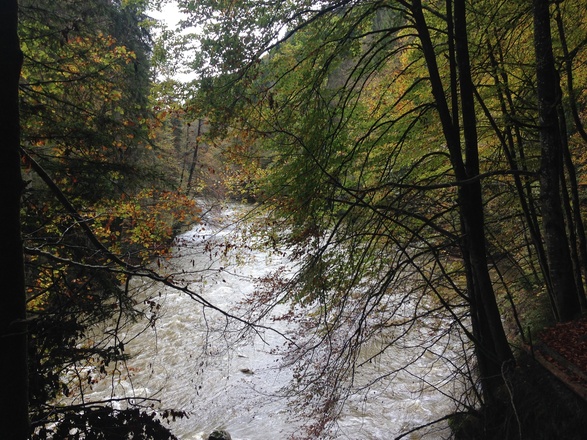
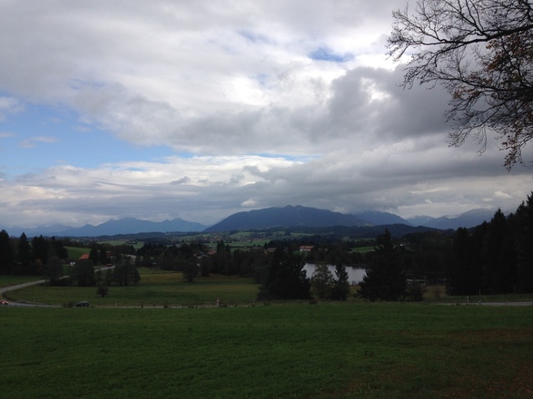
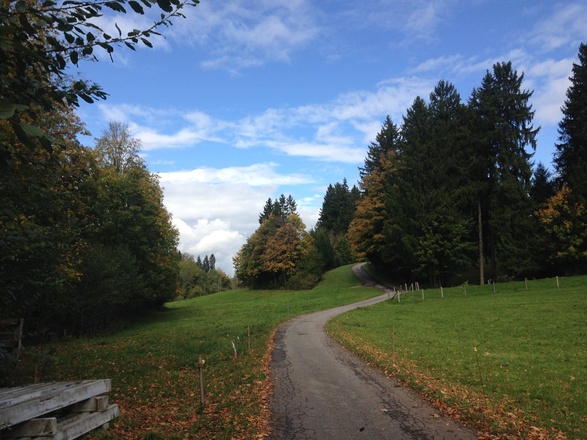
Having deviated from the KLW to reach Peiting, you'll soon get back on the trail to face the adventure of the Ammerschlucht Gorge. The river can always be heard as you travel through the gorge and is largely hidden by trees until you descend to walk alongside it for a little while. Pass through the gorge via a network of steps, bridges and short climbs. Follow the path to Rottenbuch with views of your constant companion, the Ammergau mountains. Rottenbuch is another grand monastic centre with a fine ornate Baroque church. The village Wildsteig also boasts a splendid church where local people attend Sunday Mass in traditional Bavarian clothing; men to the right of the church and women to the left.
There are few shops on route to buy food and drink. Make sure to fill your water bottle with plenty of water for the day's walk before leaving. There are also a number of restaurants and cafés in Rottenbuch.
Info
Karte
Details
|
Kondition
|
|
|
Erlebnis
|
|
|
Landschaft
|
|
| Technik |
Weiter stöbern
Wegbeschreibung
Start
Peiting
Ziel
Wildsteig
Weg
0.00km - Standing with your back to Peiting Ost train station in Bahnhofstrasse, go STRAIGHT ON onto Kohlenstrasse.Continue STRAIGHT ON over several crossroads to reach a 5-way crossing, with a green to your left.
0.40 km - TURN RIGHT at a crossing onto Leitenweg and continue to a T junction
0.60 km - TURN LEFT and continue on the road out of a residential district into the countryside. Carry on until you come to a crossroads.
1.40 km - Go STRAIGHT ON towards a major road ahead. Then follow the road around to the left and continue alongside the major road to your right. Carry on to reach a crossroads.
2.40 km - TURN RIGHT at a crossroads and go through a tunnel under a major road and then bear left. Continue past some houses to your left to reach a car park.
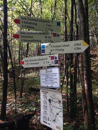
3.00 km - TURN RIGHT just before you come to the car park onto a path following the Via Roma sign to Rottenbuch.Continue on a path through forest to reach a wooden water wheel (powering wooden hammers).
3.90 km - Go STRAIGHT ON to reach a multi-directional way maker signpost to your right.
4.10 km - FORK RIGHT following the K sign to ‘Rottenbuch 1 3/4 hrs’. (You are now back on the main KLW).Carry on up the steps to a picnic and viewing spot.
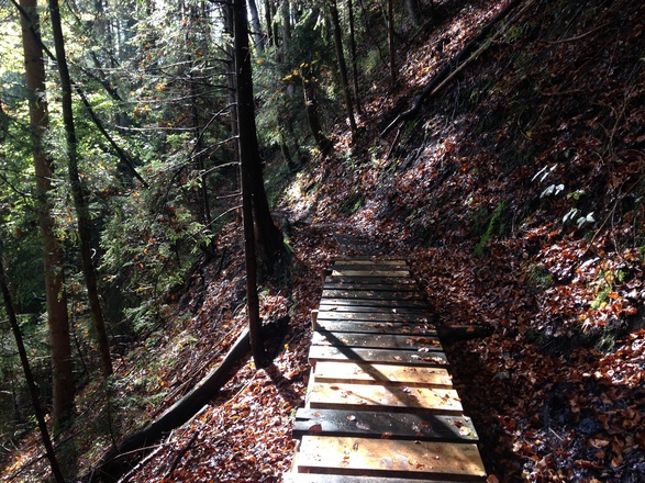
4.60 km - Go STRAIGHT ON along a narrow path, amongst fallen and felled trees. From here on you need to watch your step as the path becomes wet and precipitous as it winds around the contour of the Ammerschlucht Gorge.Carry on, carefully, to finally descend to the river. Continue on a path alongside the river, to your left, to a bridge over a stream.
6.40 km - Go STRAIGHT ON uphill on a track to the edge of the forest to meet a track ahead of you.
6.80 km - TURN LEFT onto a track, following the K sign to ‘Rottenbuch 3.0K’.Carry on uphill on the track through pastureland to reach a crucifix and turning to a farm on your left.
9.20 km - Go STRAIGHT ON and continue to a line of trees to your left.
9.50 km - TURN LEFT off of the road onto a path following the K signand then TURN RIGHT (following the K sign). Continue on the path, with a view over the gorge to your left, to then reach a track.
10.30 km - TURN LEFT and continue downhill to pass between two small lakes. Carry on to a T junction.
10.40 km -TURN RIGHT and go uphill on a road through an arch to Rottenbuch monastery grounds. Continue past the church and restaurant to your left to another arch and exit the monastery area.
10.60 km - Go STRAIGHT ON along the right side of the road very carefully following the K signs:under the arches of a building then across a road then alongside a stream to your right and then over a main road to reach a minor residential road ahead of you.
11.10 km - Go STRAIGHT ON uphill on a residential road, with a brook to your right.Look out for small wooden sign 'Pestfriedhof' and way marker on your right.
11.80 km - TURN RIGHT onto a track/path and carry on uphill to reach the road.
12.00 km - TURN RIGHT onto the road, following the K sign to ‘Wildsteig 3.7K’.Continue on the road out of a residential area and carry on to a turning on your left.
12.10 km - TURN LEFT following the K sign and continue to the road on the right.
12.20 km - TURN RIGHT and continue on past a farm on right to then reach the edge of the forest.
12.70 km - Go STRAIGHT ON uphill through the forest and then along a track through a field. Carry on to reach the busy road.
12.50 km - TURN RIGHT and walk on the path alongside a busy road, to your left.Carry on until you reach an underpass.
12.70 km - BEAR LEFT and walk down to the underpass, pass through a tunnel and then up towards Wildsteig ahead of you.Continue into Widsteig to reach a T junction (hotel in front of you).
12.90 km - TURN RIGHT at a T junction and continue downhill towards the church. Then cross a bridge and take the footpath ahead of you up to the church.
13.50 km - ARRIVE at the top of the footpath, with the church to your right and the Hotel Zur Post to your left. If you are staying in Steingaben this evening, please continue on the KLW for 10km to reach your accommodation. If you are staying in Peiting this evening, you will be collected by pre-arranged taxi transfer. Please check your accommodation details for confirmation of your overnight location.
Weitere Informationen
This walk is part of the following itinerary:
WGSKLW1
There are few shops on route to buy food and drink. You would be well advised to fill your water flask before leaving. There are however a number of restaurants and cafés in Rottenbuch; possibly a good place to enjoy lunch.
Alternative Transport: Bus 9822 from Peiting via Rottenbuch to Wildsteig (40 mins); see http://fahrplan-bus-bahn.de/bayern/wildsteig/bus_linie_bus_9822
Points of Interest:
Water Wheel; powering noisy hammers, on the way into the Ammerschlucht Gorge.
Ammerschlucht Gorge; a long stretch of precipitous contour walking.
Rottenbuch; an ornate grand church in the monastery grounds
Grotto to the Virgin Mary on the ascent to Wildsteig Church
Wildsteig Church; a small but very fine example of the Baroque.
Ausrüstung
A sturdy pair of walking trainers are adequate for this route if you don't wish to wear hiking boots.
Sicherheitshinweise
A substantial part of the walk journeys through the Ammerschlucht Gorge on narrow and precipitous paths requiring care and attention, particularly in the wet. Please refer to your information pack for more details on this walk in case of bad weather conditions.
