| Schwierigkeit |
mittel
|
|
Aufstieg
|
802 hm |
|
Abstieg
|
805 hm |
| Tiefster Punkt | 654 m |
| Höchster Punkt | 1416 m |
|
Dauer
|
5:32 h |
|
Strecke
|
15,7 km |
Loop Walk to Baumooskogel
Die Tour
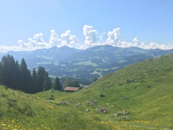
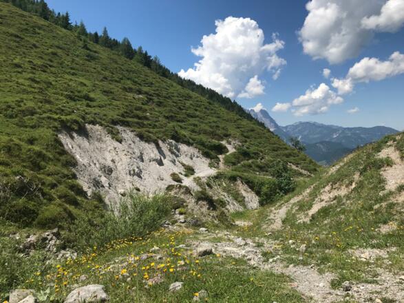
During this circular hike, you’ll get to see the Kitzbüheler mountains from another angle. En route to St. Johanner Baumooskogel, you will pass by the Kalkstein mountain, which dominates the surrounding landscape with its light-coloured rock formations.
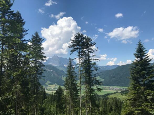
This walk starts in St. Johann. From here, you’ll walk past a number of traditional Tyrolean farms to the foot of Baumooskogel mountain. The ascent through the forest and luscious meadows is all via easily accessible paths. For virtually the entire walk, you’ll have great views of the summit of the Wild Kaiser mountains. Once you reach the top, you can walk up the wide paths to Adlerspoint, where you can enjoy the peace, quiet and solitude of this high-altitude lodge. For your descent back into St. Johann, you’ll walk mostly on forest paths.
Autorentipp
Look out for the unusual stone formations of Kalkstein mountain.
Info
Karte
Details
|
Kondition
|
|
|
Erlebnis
|
|
|
Landschaft
|
|
| Technik |
Wegbeschreibung
Start
St. Johann, Church
Ziel
St. Johann, Church
Weg
0.00 km – With your back to the main entrance of the church, TURN RIGHT onto Dechant-Wieshofer-Straße. The KAT walk sign is located to the left of the church entrance.
0.30 km – Cross the Wieshofer bridge and TURN RIGHT onto Murweg immediately behind the statue of St. John of Nepomuk.
1.20 km – TURN LEFT. Follow the KAT walk signs towards Kalkstein.
2.10 km – Follow the paved road as it curves around to the right and continue STRAIGHT AHEAD.
2.30 km – Cross STRAIGHT AHEAD (slight left) at the junction and continue on the narrow paved road. After a few metres, you will reach a fork in the road. TURN RIGHT here towards the Grill Academy and follow the road for 1.20 km. Ignore all paths/roads that branch off from your route.
3.50 km – You will emerge from a wooded area. Follow the river upwards across the field to the edge of the woods on the other side. Once you reach the top of the field, keep left. A few metres further down, there is a small path which leads into the woods. Follow this path and the red/white markings from this point.
4.20 km – Cross the forest path and TURN slightly LEFT onto the narrow path that leads further into the forest. Follow the “Wanderweg” (hiking trail) signs.
4.30 km – Continue across the field and KEEP LEFT. Pass to the left of the farm; follow the signs for “Adlerspoint” as the path snakes upwards.
7.70 km – At the signs, go STRAIGHT AHEAD down the gently sloping narrow path to reach Baumooskogel. From here, follow the red/white markings. If you wish to climb up to Kalkstein, TURN LEFT at the signs. If you choose to do this, return to this point later so that you can continue to follow the route description.
7.80 km – At the fork, TURN LEFT and walk towards Baumoosalm Lodge. Walk past the lodge and continue to follow the path.
8.60 km – At the fork, TURN LEFT and follow the signs for St. Johann on route 611. Walk around Baumooskogel through fields and woodland.
10.80 km – At the fork, TURN LEFT and continue on route 611 as it slopes gently upwards, following the red/white markings.
11.50 km – You will reach the edge of the woods. On your right is an alpine meadow; the woods are on your left. Follow the road STRAIGHT AHEAD for another 300 m.
11.80 km – Follow the road around to the RIGHT and into the woods, walking parallel to the meadow on your right and following signs for St. Johann (route no. 611).
13.40 km – You will leave the woods. After 400 m, TURN LEFT and follow signs for St. Johann, walking through the village towards the centre/St. Johann church.
15.50 km – You will now arrive back at Wieshofer bridge; walk STRAIGHT AHEAD to the start and end point of this walk, the church in St. Johann.
15.70 km – You have reached St. Johann church.
Weitere Informationen
There are no places to stop on this walk, so make sure you take enough supplies with you. Ask your accommodation provider if they can pack a lunch for you. Alternatively, there are a few supermarkets in St. Johann. Take enough water with you.
This tour is available on the following itineraries: WATKAT
Ausrüstung
As you’ll be climbing and descending at significant heights, we recommend the use of trekking poles.
The weather can change rapidly in the mountains, so always carry waterproofs with you. Don’t forget that your exposure to sunlight increases and the temperature decreases as you climb to higher altitudes.
Sicherheitshinweise
Today you may be walking past a few different areas where cows graze. Although generally very docile and used to walkers, keep your distance and never turn your back on a cow that is behaving strangely or aggressive. Be particularly vigilant around cows with calves.
A number of sections of this walk pass through fields containing livestock. Always look out for animals when entering a field. Keep your distance from the animals and remember to close gates after you.
Always allow plenty of time for your hike. The walking times indicated do not include breaks. Rest and photo breaks must be added to the times indicated.
Check the latest weather information and be on the lookout for changes in the weather. Storms can develop rapidly in the Alps.
Do not leave the marked hiking trails.


