| Schwierigkeit |
mittel
|
|
Aufstieg
|
286 hm |
|
Abstieg
|
166 hm |
| Tiefster Punkt | 535 m |
| Höchster Punkt | 731 m |
|
Dauer
|
4:30 h |
|
Strecke
|
18,5 km |
Diessen to Wessobrunn or Paterzell
Die Tour
From Dießen, and its imposing Münster (a beautiful baroque church) walk to Pfaffenwinkel through forests to your first view of the high mountain peak of the Zugspitze. Please check your accommodation details to see if you are staying in Wessobrun or Paterzell this evening, and follow the directions accordingly.
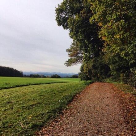
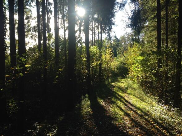
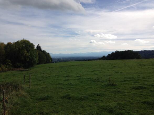
A mix of pastureland, with mountains in the far distance, and forests characterises today's walk. A long climb up to a high point just before reaching Wessobrunn affords good views over the countryside.
There are no shops on route to buy food and drink, other than at Diessen. Make sure you have plenty of water for the day's walk before leaving. However, the walk is fairly short, though a little arduous towards the end. The Gasthof Zur Post, just outside the monastery, serves meals all day.
Info
Karte
Details
|
Kondition
|
|
|
Erlebnis
|
|
|
Landschaft
|
|
| Technik |
Weiter stöbern
Wegbeschreibung
Start
Diessen
Ziel
Wessobrunn or Praterzell
Weg
0.00 km - On exiting the ferry pier, BEAR LEFT and walk to the way marker next to the footbridge over the stream.
0.10 km - TURN RIGHT and make your way alongside the stream, to your left, passing under the railway bridge (which is low, so watch your head).Continue along Mulhstrasse, following the K sign to Wessobrunn, until you reach a crossroads controlled by traffic lights.
0.60 km - Go STRAIGHT ON uphill, passing the police station on your left. Then look out for an alleyway to your left with a green sign 'Marien Munster' (by house number 28).
1.30km - TURN LEFT following a green sign on a cobbled path under an arch to find the enormous Cathedral of Diessen on your left.Pass alongside the Cathedral until you reach its mighty front entrance.
1.50 km - BEAR RIGHT away from the front of theCathedral onto a path signposted ‘Wessobrunn KL-W’. Continue to reach the road.
1.80 km - TURN LEFT onto road and continue to the first turning on the right.
1.90 km - TURN RIGHT and then take the path to your LEFT, following the K sign.Walk alongside a small stream to your right.Carry on alongside field to your left to a footbridge.
2.40 km - Go STRAIGHT ON over footbridgeand then take a narrow path to your LEFT, following K sign to ‘Wessobrunn 11.3K’.Continue, with residential area to your right and fields to your left. Carry on until you come to a road ahead of you.
2.90 km - TURN LEFT and continue along the edge of a field towards houses, following the small wooden K sign (which looks ready to collapse!).Carry on along the path which then turns right and leads you between houses to reach a road.
3.20 km - TURN LEFT onto the road and continue to reach a track to your right.
3.30 km - TURN RIGHT onto a track, following the K signs which then direct you onto an indistinct path across a field to a house by a 3-way road crossing.
3.70 km - TURN LEFT and go uphill on a road/track, following the small K sign and a brown sign for ‘Waldlehrpfad’.Carry on to a car parking area and forest.
4.00 km - Go STRAIGHT ON uphill on a narrowing track through the forest (ignore the white and blue K sign on tree on path to your right).Continue to a fork in the track/path.
4.40 km - FORK RIGHT onto the path, following the K sign.Pass a shrine to St Michael on the left and then climb steps to reach a shrine/chapel at the forest edge.
5.00 km - Go STRAIGHT ON with the field to your left and mountains in the far distance.Continue to a fork in the track.
5.40 km - FORK RIGHT and continue to a single track asphalt road.
5.50 km - TURN LEFT onto road and walk through open pastureland towards mountains. Carry on until you reach a road to your right.
6.50 km - TURN RIGHT following the K sign to ‘Wessobrunn 8.4K’.Continue through fields and then forest (largely to your left) to reach a small track on your right with a small KLW sign and a green sign, 'Runweg 6'.
8.30 km - TURN RIGHT and continue, with the forest to your left and a field/clearing to your right.Continue to a T-junction.
8.50 km - TURN LEFT, following the K sign into the forest. Continue to a fork in the road.
8.70 km - FORK RIGHT and continue to a T junction.
9.60 km - TURN LEFT and continue to a fork in the road.
9.70 km - FORK LEFT (do NOT go right in direction of the green sign to Wessobrunn).Carry on to yet another fork in the road.
10.10 km - FORK RIGHT following the K sign to a crossroad.
10.70 km - Go STRAIGHT ON following the K sign to ‘Wessobrunn 4.9K’.Now continue along a very straight dirt road through the forest to reach a T junction.
11.30 km - TURN RIGHT following the K sign to a turning on your left.
11.80 km - TURN LEFT following the K sign downhill to cross a bridge before ascending to then reach a field at the forest edge.
12.20 km - TURN RIGHT, following the bend of the road and continue uphill with a field to your left.Then pass through a patch of forest and then go yet further uphill through open fields. At the apex of the hill, Wessobrunn comes into sight. Carry on to a staggered 4-way crossing.
13.00 km - Go STRAIGHT ON, following the K sign to ‘Wessobrunn 1.5K’. Continue on the road until you reach a crucifix to your right by a tree, where there is a small turning downhill to your left.
13.50 km - TURN LEFT and descend to a T junction.
13.60 km - TURN RIGHT at the T junction. Continue to find Wessobrunn Monastery, to your left (where there is a small side entrance).Carry on with the perimeter wall to your left to reach the arch entrance of the monastery.Go through the arch and continue to the way marker ahead of you.
13.80 km - ARRIVE at Wessobrunn Monastery square. If you are staying in Wessobrunn this evening (Check your accommodation details) your walk ends here. If you are staying in Paterzell this evening, please continue on the trail, following the GPS track. From Wessobrun, continue on the main road south out of Wessobrunn. Following the 'K' trail markers, continue on winding paths as the trail descends gently to Paterzell.
Weitere Informationen
There are no shops on route to buy food and drink, other than at Diessen. You would be well advised to fill your water flask before leaving. There is nowhere to eat and drink on route. However, the walk is fairly short, though a little arduous towards the end. The Gasthof Zur Post, just outside the monastery, serves meals all day until 9.30pm.
Alternative Transport - Diessen to Hohenpeissenberg by train is 40 mins (see www.bahn.co.uk for timetables).
Points of Interest
Diessen Cathedral; The most outstanding feature of the town is the Baroque 'Marianmunster' built in the 18th century. This impressive church has an impressive high altar, ceiling frescoes, stucco work and paintings. concerts are also held here – for a calendar see http://www.diessener-muensterkonzerte.de/ for general information about the Munster, see http://www.katholisch-diessen.de/menue/aktuelles/
Wessobrunn Monastery; This former Benedictine Monastery is celebrated as the home of the famous Wessobrunn Prayer and also of a Baroque school of stucco workers and plasterers in the 18th century. The monastery was founded in about 753, and dedicated to Saint Peter, according to legend after Duke Tassilo III of Bavaria while hunting nearby had a vision of three springs, which his servant Wezzo duly discovered the next day. The name means Wesso or Wezzo's springs. The three springs are still to be seen, but there is otherwise no evidence of the truth of the story, and it is likely that the founders were a local noble family called Rott.
Ausrüstung
A sturdy pair of walking trainers are adequate for this route if you don't wish to wear hiking boots.


