|
Aufstieg
|
970 hm |
|
Abstieg
|
70 hm |
| Tiefster Punkt | 1004 m |
| Höchster Punkt | 1923 m |
|
Dauer
|
5:05 h |
|
Strecke
|
15,8 km |
Alternative Walk: Gasthof Wiesenhof - Pfeishütte
Die Tour
Hike from Gasthof Wiesenhof to the Pfeishütte via the alternative trail, avoiding the Gleirschklamm gorge.
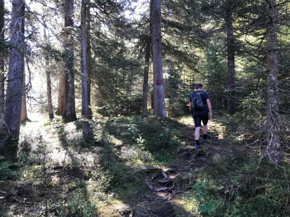
Embark on this alternative hike via the road if it is bad weather or you are not surefooted. A wide gravel path winds its way up to the Möslalm. From the Gleirschhöhe, a narrow path leads you down to the Isar River and then steadily ascends again to the road and finally to the Möslalm. From here you continue to follow the path to the Pfeishütte.
Info
Karte
Wegbeschreibung
Start
Gasthof Wiesenhof in Hinterautal
Ziel
Pfeishütte
Weg
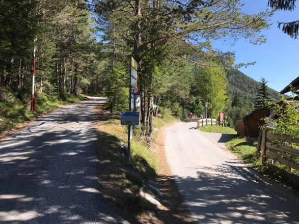
0.0 km – START on a wide gravel road with the Wiesenhof Gasthaus to your right. Take the lower RIGHT path and follow the signs to the Möslalm and Pfeishütte.
1.9 km - From the gravel road, a narrow path branches off to the right. TURN RIGHT and follow the narrow path as it snakes down. REACH the bottom of the trail, BEAR RIGHT and follow the path down to the Isar River.
(If you prefer to continue walking along the track, continue straight on and do not turn right onto the narrow path).
2.1 km - CROSS the bridge and TURN LEFT after it.
2.3 km - BEAR RIGHT and follow the narrow ascending path. At the top, BEAR LEFT and reach a wide gravel path.
2.4 km - At the gravel path, BEAR LEFT. Follow the ascending path.
2.8 km - Reach a wide track again. TURN RIGHT and follow the signs to the Möslalm and Pfeishütte.
4.5 km - CONTINUE STRAIGHT and follow the yellow signs, ascending to the Pfeishütte and Möslalm.
5.0 km - CROSS a small bridge. TURN RIGHT and stay on the wide lower gravel path.
5.7 km – PASS a hut on the right.
5.8 km - BEAR LEFT at the fork. Follow the gravel road as it bends to the left.
6.7 km - At the fork, BEAR RIGHT. Ignore the path up to the left.
7.3 km - BEAR LEFT and stay on the wide gravel path. Ignore the path that branches off to the right. Follow the signs to Möslalm and Amtssäge. In about 40 metres come to a fork. BEAR LEFT.
7.8 km - The Amtssäge Hut is on the right. Continue along the path until a T-junction.
8.0 km - At the T-junction, TURN RIGHT and follow the path straight to the Möslalm. Ignore all paths turning off.
8.7 km – REACH the Möslalm hut. CONTINUE STRAIGHT and follow the signs to the Pfeishütte.
9.2 km- At the fork, BEAR LEFT, shortly after, reach a second fork, BEAR RIGHT. Continue on the main trail following the signs.
10.7 km - REACH a T-junction, TURN sharp RIGHT and then TURN LEFT following the signs to the Pfeishütte.
14.3 km – TURN LEFT on the gravel path. Leave the gravel path and CONTINUE STRAIGHT along the path following the signs to the Pfeishütte.
15.9 km - ARRIVE at the Pfeishütte. Enjoy your night in the rustic mountain hut!
Weitere Informationen
Refreshment stop: Möslalm (as of July 2019), Please enquire locally whether it is actually open, as opening times can change at short notice. Otherwise, there is no possibility to stop for refreshments on the route.
The opening hours of the Gasthof Wiesenhof and the Möslalm can be found on their homepage:
Gasthof Wiesenhof: http://www.gasthof-wiesenhof.at/
Möslalm: http://www.moeslalm.tirol/
Ausrüstung
We recommend wearing hiking boots that are well broken-in, plus a rain jacket and waterproof trousers in wet weather, as well as taking sun cream and a hat on nicer days.
In your information pack, you’ll find a detailed list of all the required hiking gear, including some good hiking boots, appropriate clothing, a rain jacket and a backpack.
Sicherheitshinweise
Today you may be walking past a few different areas where cows graze. Although generally very docile and used to walkers, keep your distance and never turn your back on a cow that is behaving strangely or aggressive. Be particularly vigilant around cows with calves.
Keep a close eye on the weather forecast. In the mountains, the weather can change very quickly. Do not stay in the mountains during thunderstorms.


